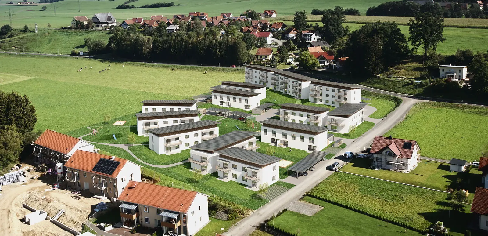
drone instead of construction crane
If in 2015 you wanted to present an architectural concept to a municipality, you had two choices: a rendered still from the most flattering perspective, or a real photograph of the existing site that documented reality. Neither on its own was usually enough to win over a jury.
In that year, we started combining both: drone footage of the actual site as the base layer, with the 3D visualization of the competition entry rendered on top. The result was more honest than pure CGI and more convincing than a sober photograph.
case study kobenz
We first ran this approach end-to-end on the Kobenz competition project with Graz architect Bettina Zepp. A drone flight over the existing plot, multiple perspectives from 30–80 metres altitude. In the 3D tool we then placed the design — volume, access, planting — exactly into the photographed topography.
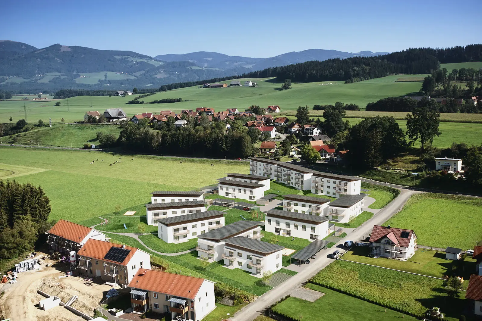
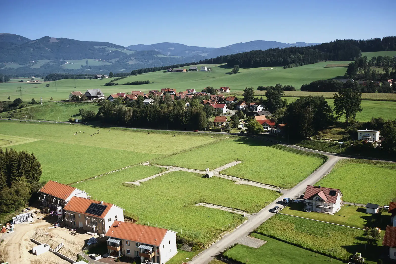
The effect: the jury doesn’t see “an idealised rendering” but “this is how it will actually look on site, with the existing trees, the slope, the neighbouring buildings.” That shifts the discussion from the generic to the specific.
what has changed since
In 2015, a drone was a tool with its own logistics. Today it is a standard building block of our workflow for competitions and developer renderings. Resolution has multiplied, controls are more robust, and the Austrian regulatory situation is clearer.
What hasn’t changed: the upside. Anyone who places a design into its real surroundings has an argumentative advantage over those who only show isolated geometry.